


TREYNOR Voting District, Pottawattamie County, Iowa
About
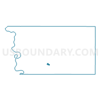
Outline

Summary
| Unique Area Identifier | 583295 |
| Name | TREYNOR Voting District |
| County | Pottawattamie County |
| State | Iowa |
| Area (square miles) | 0.58 |
| Land Area (square miles) | 0.58 |
| Water Area (square miles) | 0.00 |
| % of Land Area | 100.00 |
| % of Water Area | 0.00 |
| Latitude of the Internal Point | 41.23219350 |
| Longtitude of the Internal Point | -95.60634180 |
Maps


Graphs
Select a template below for downloading or customizing gragh for TREYNOR Voting District, Pottawattamie County, Iowa


Neighbors
Neighoring Voting District (by Name) Neighboring Voting District on the Map
- KEG CREEK TWP W/O TREYNOR Voting District, Pottawattamie County, IA
- SILVER CREEK TWP W/O TREYNOR Voting District, Pottawattamie County, IA
Top 10 Neighboring County Subdivision (by Population) Neighboring County Subdivision on the Map
- Silver Creek township, Pottawattamie County, IA (957)
- Keg Creek township, Pottawattamie County, IA (791)